WaterMarks (Copy) (Copy)
2022 — Work in progress
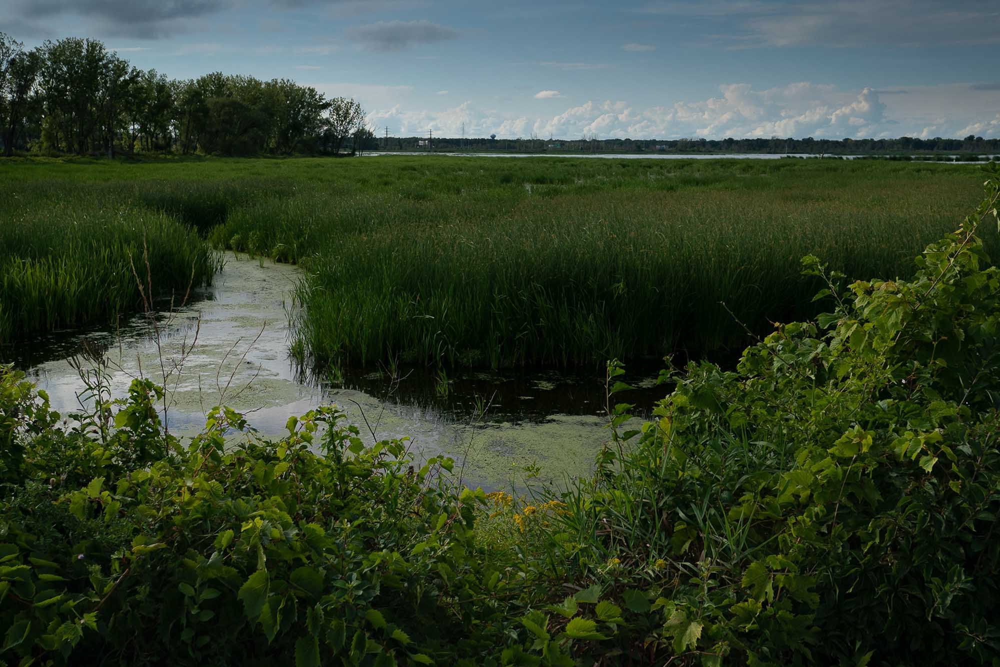
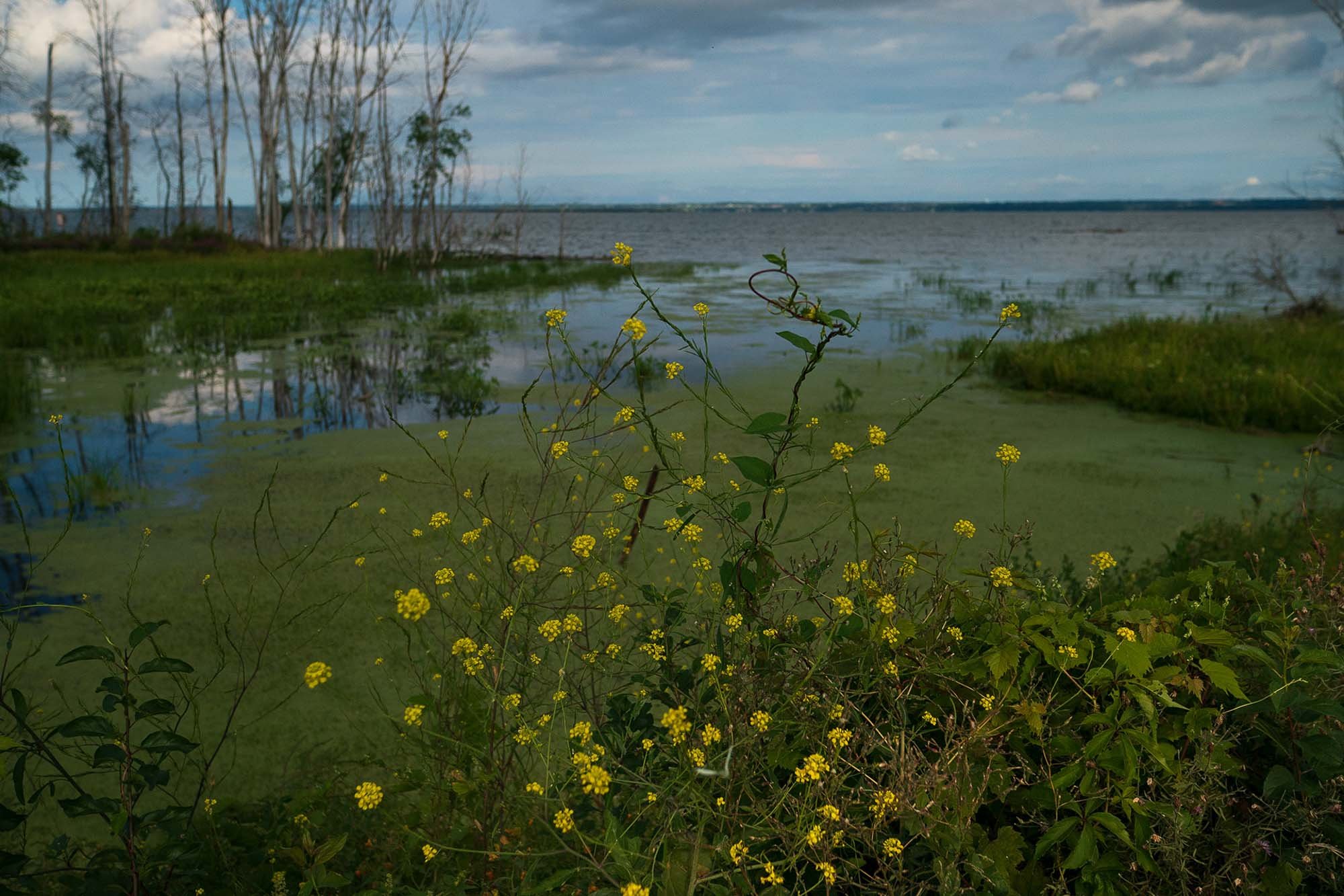
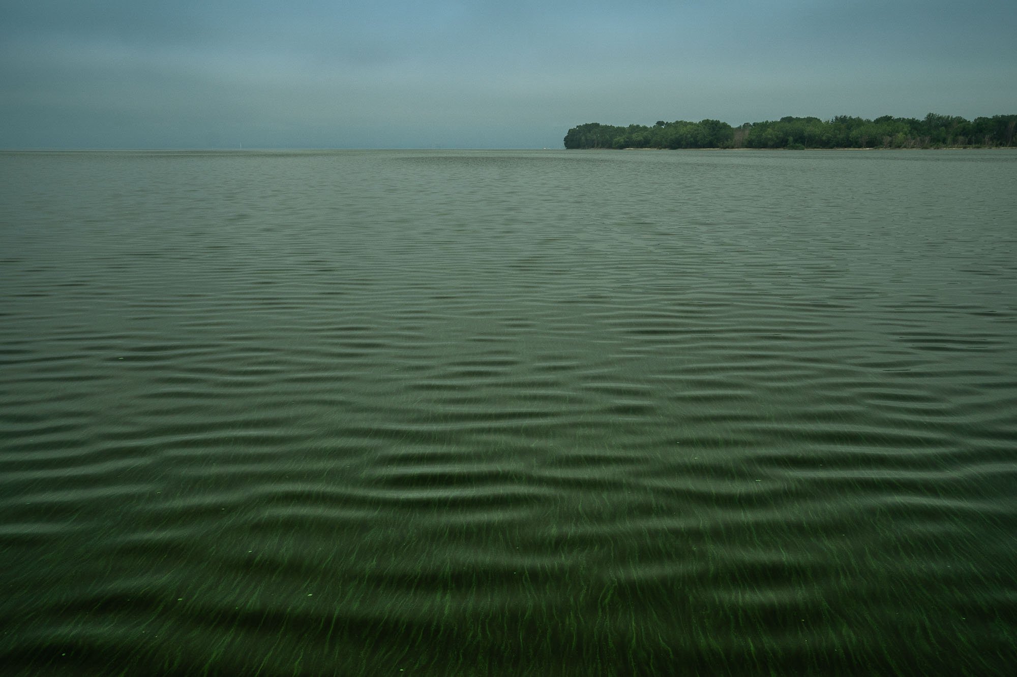
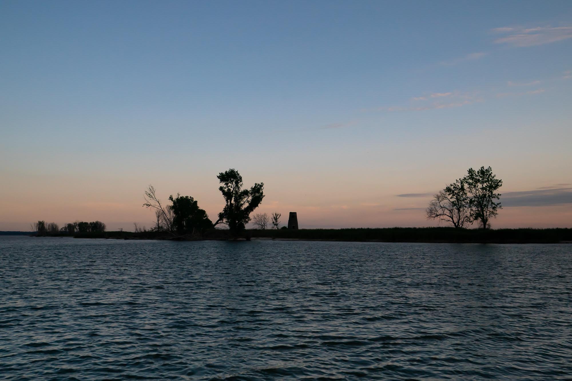
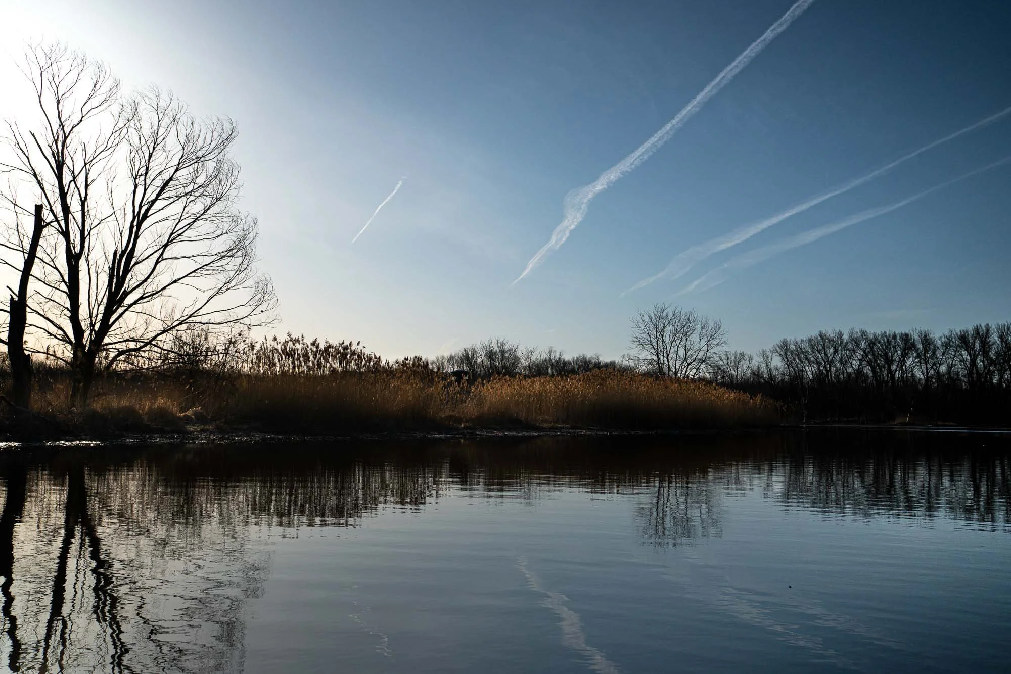
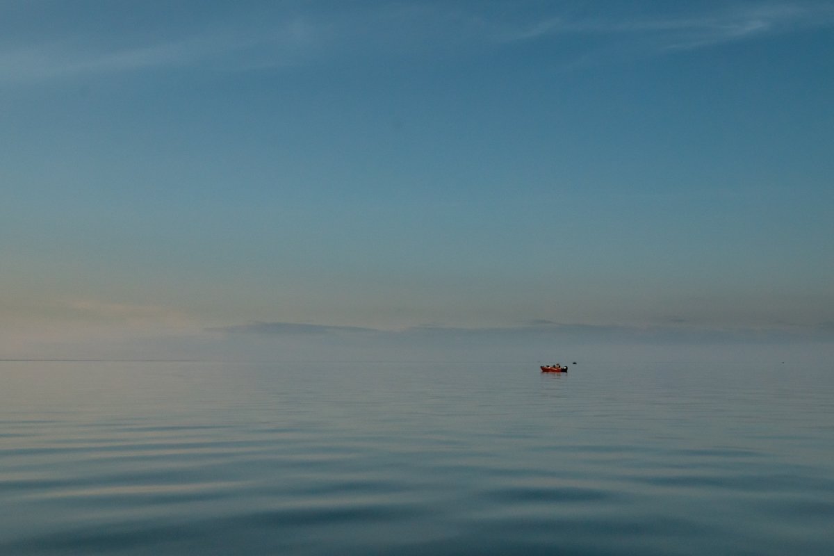
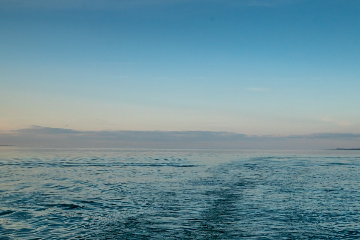
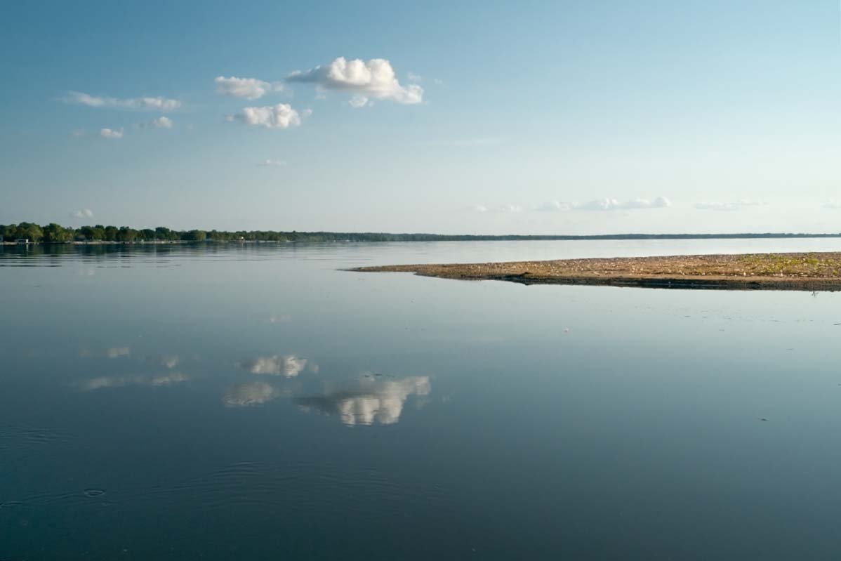
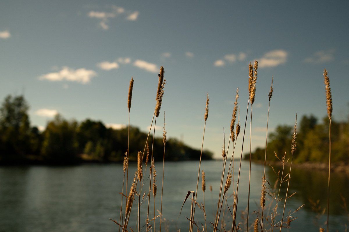
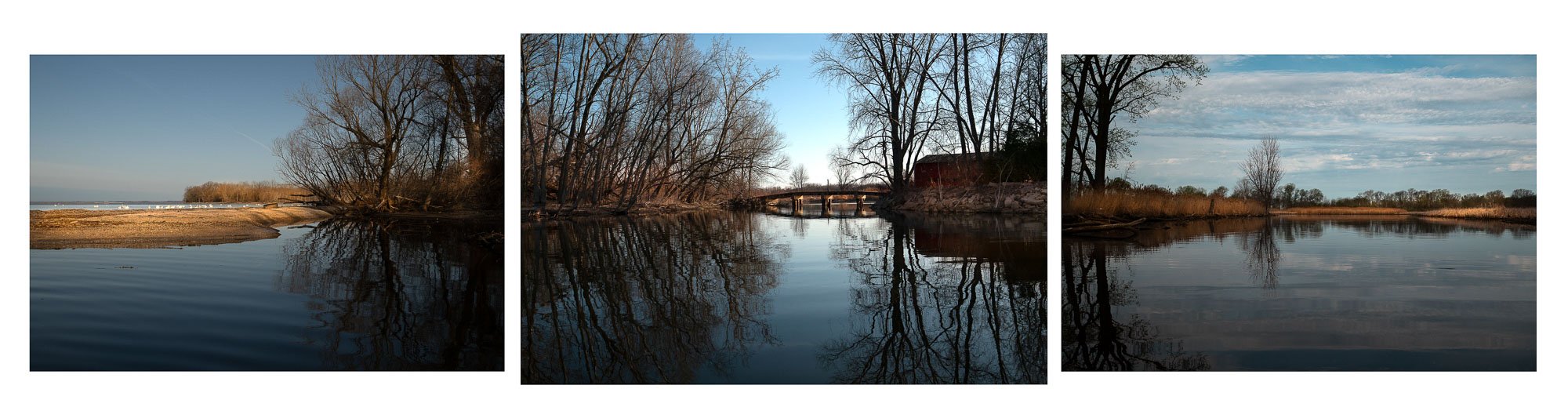
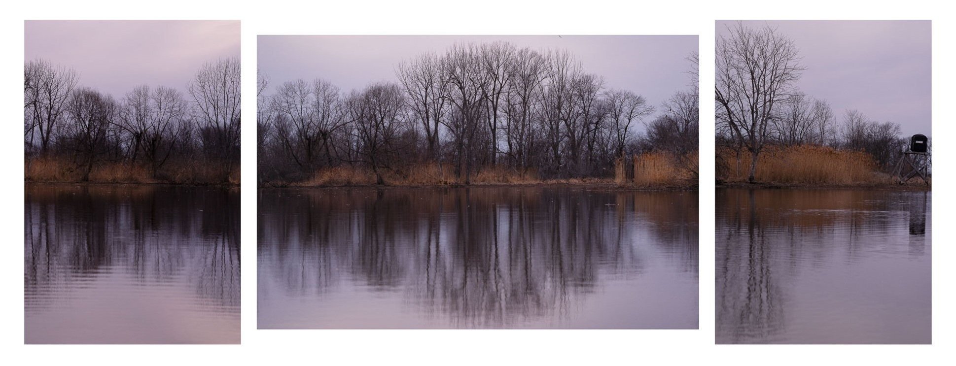
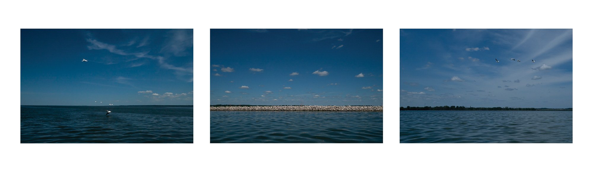
Spanning both western and eastern shores, and stretching from the mouth of the Fox River to the islands just north of the Door County peninsula, Lake Michigan’s Green Bay is the largest freshwater estuary in the world. WaterMarks is a researched based, work in progress, that seeks to document the human imprint on these Great Lakes waters and tell the convoluted story of degradation and reclamation using present day imagery, historical documents and artifacts.
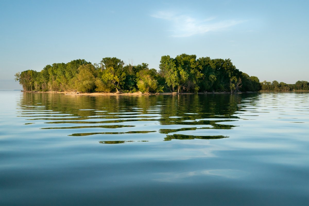
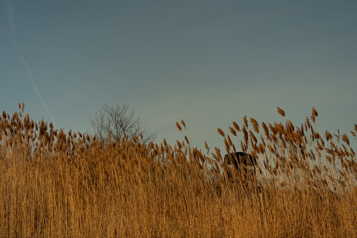
Investigations into the human impact reveals the area’s land and water use history as early as the 1800’s and clarifies the ongoing complexity of managing the fragile waters within a populous community that depend on them for livelihood and recreation amidst dramatic climate swings. Evidence of destructive human impact abounds yet it serves as reminders of what once was, and what could have been lost but for the visionaries who foresaw reclamation. Much of the rebirth of the Green Bay estuary can be attributed to the preservation of area wetlands and the Fox River clean up, one of the largest ever river restoration efforts spanning 37 miles. Amidst the barrage of daily reminders of impending climate disaster, the Fox River restoration demonstrates what is possible when the will of constituencies collaborate to effect change. Yet much work remains to improve water quality, manage invasive species and mitigate wetland and shoreline erosion.
The Green Bay Estuary is poised to receive National Estuary Research Reserve (NERR) classification. This designation will become an important milestone in area’s history, and will serve to augment mother nature’s recuperative power.
This project is partially funded by the Jerry Dell Award, University of Wisconsin-Green Bay.
“The five lakes-Superior, Huron, Michigan, Erie and Ontario—are arguably the continent’s most precious resource,
incalculably more valuable than oil, gas, or coal”
— National Geographic, “The Great Lakes”, Dec, 2022